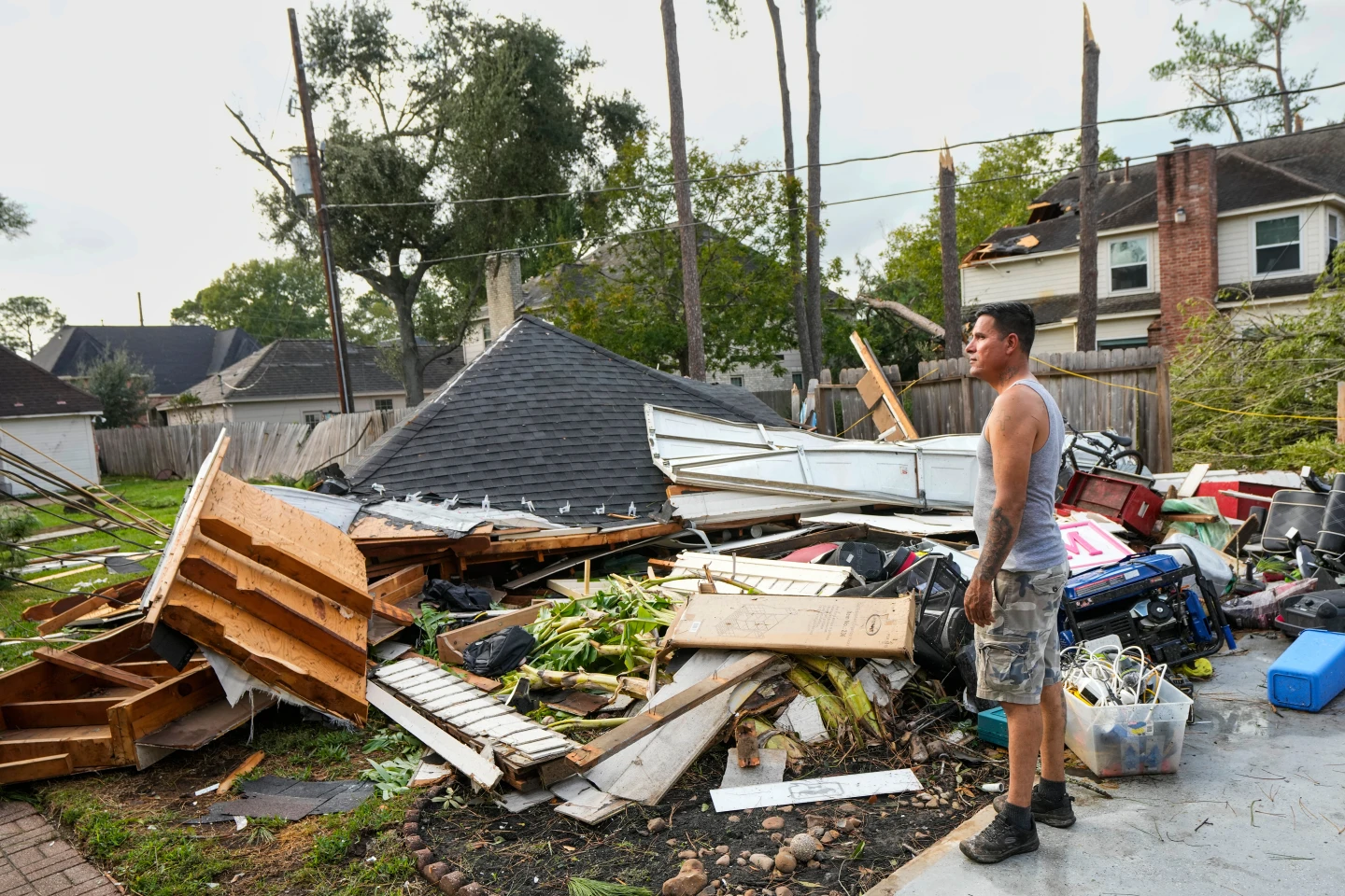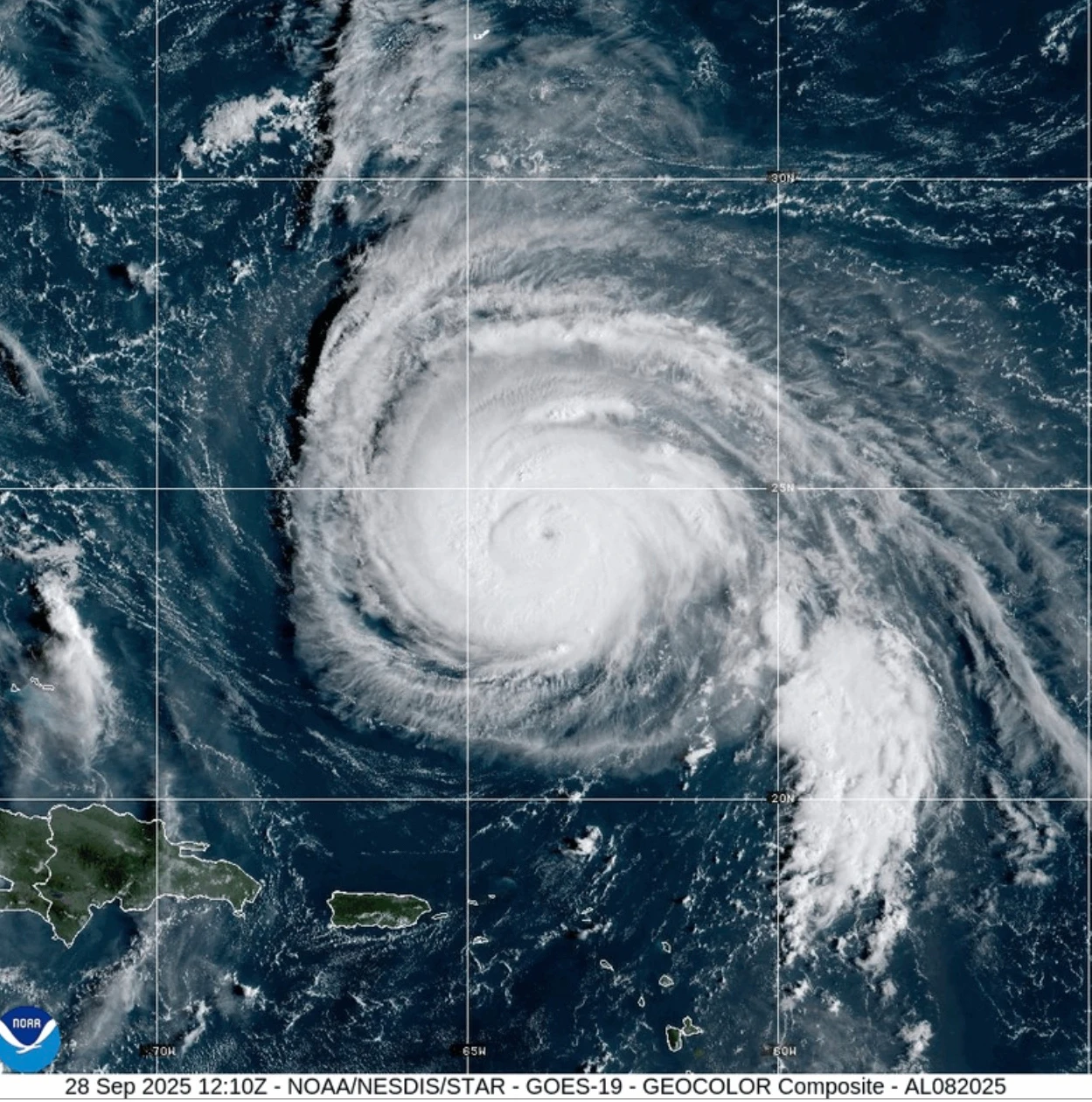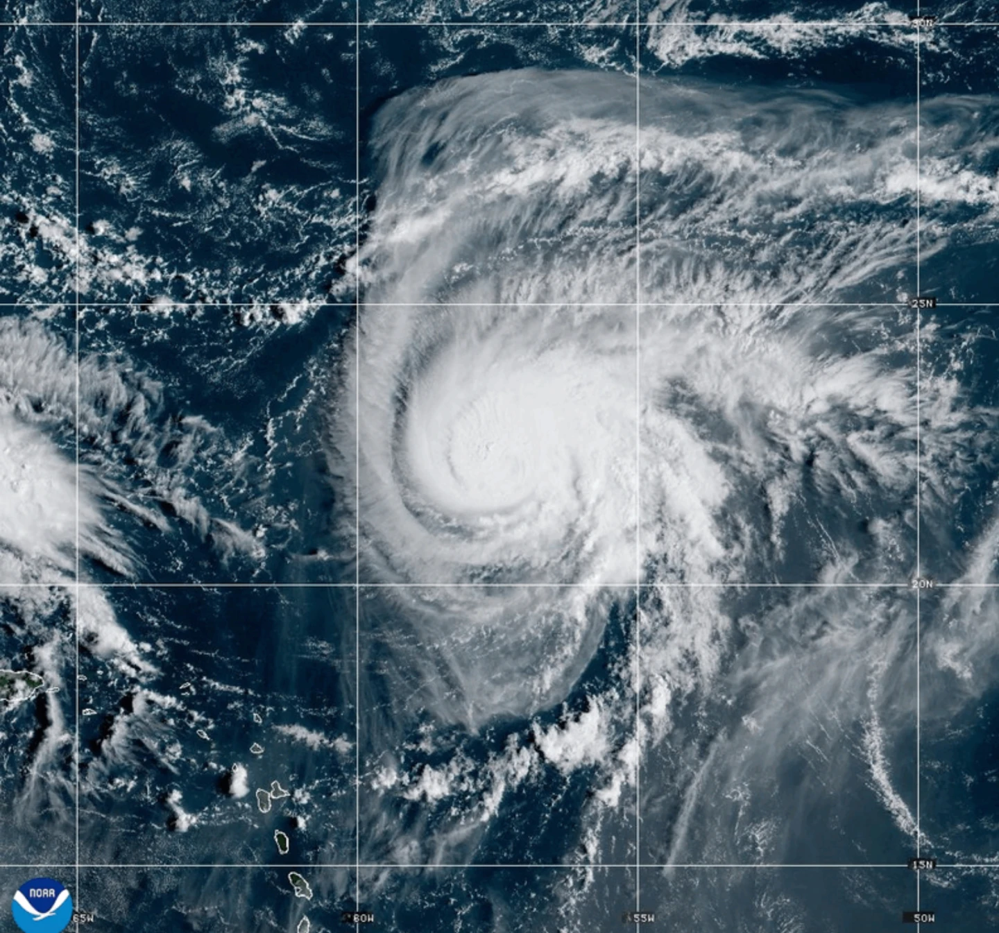
MIAMI (AP) — Hurricane Humberto has emerged in the Atlantic Ocean but poses no immediate threats to land as the previous Hurricane Gabrielle makes its way across the Azores.
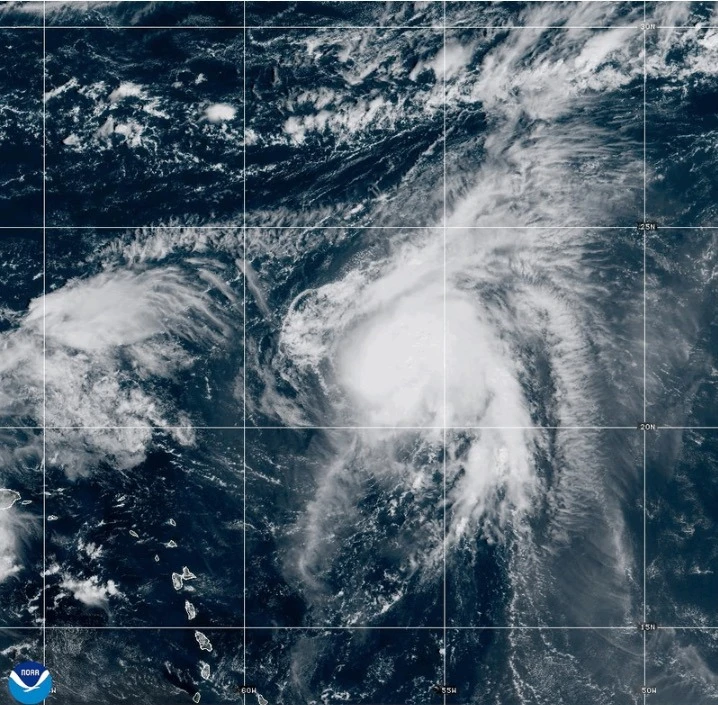
Currently, Humberto is situated approximately 465 miles (750 kilometers) northeast of the northern Leeward Islands and is projected to gradually move northwest. Experts from the Miami-based U.S. National Hurricane Center predict it could become a major hurricane over the weekend.
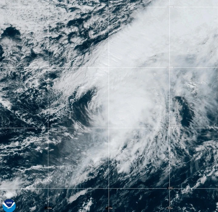
In the meantime, former Hurricane Gabrielle is now classified as a post-tropical cyclone located near the Azores, under a hurricane watch affecting the entire Portuguese archipelago. Friday morning, it was reported around 145 miles (230 kilometers) east-northeast of Faial Island in the central Azores.
Gabrielle is exhibiting maximum sustained winds near 65 mph (100 kph), with stronger gusts. While expected to begin weakening on Saturday, tropical storm force winds extend outwards for up to 160 miles (260 kilometers). Some regions have reported sustained winds reaching hurricane-level at 78 mph (126 kph).
The hurricane center warns that while Gabrielle is now post-tropical—indicating it lacks typical “tropical characteristics”—the potential for severe weather impacts remained as the storm moves east-northeast at 29 mph (46 kph), away from the Azores towards mainland Portugal.
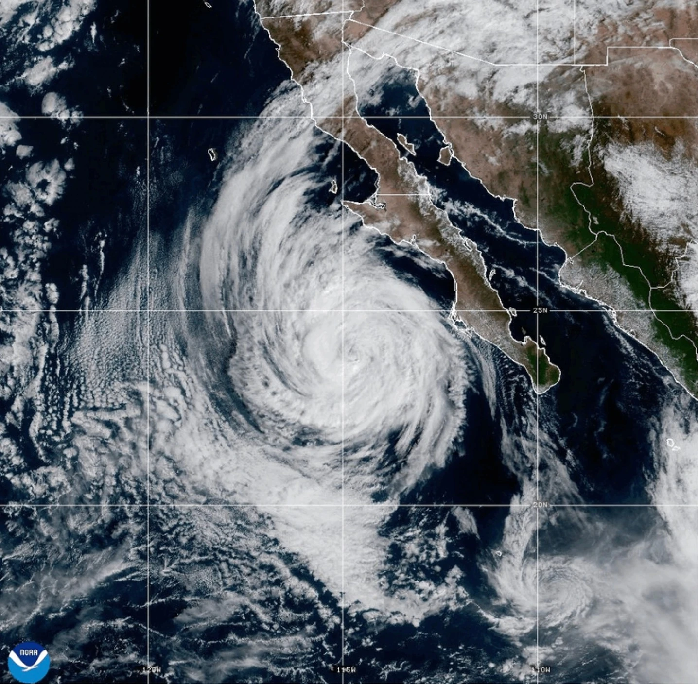
Furthermore, in the Pacific Ocean, Hurricane Narda is currently a Category 1 storm with potential to regain strength to Category 2 but poses no immediate threats to land as it is expected to diminish in strength in the coming days.