A weekend storm sent temperatures plunging well below zero in the Midwest and dumped heavy snow on parts of the Northeast on Sunday, creating many airport delays and slick roads as the Pacific Northwest braced for more rain after days of flooding and mudslides.
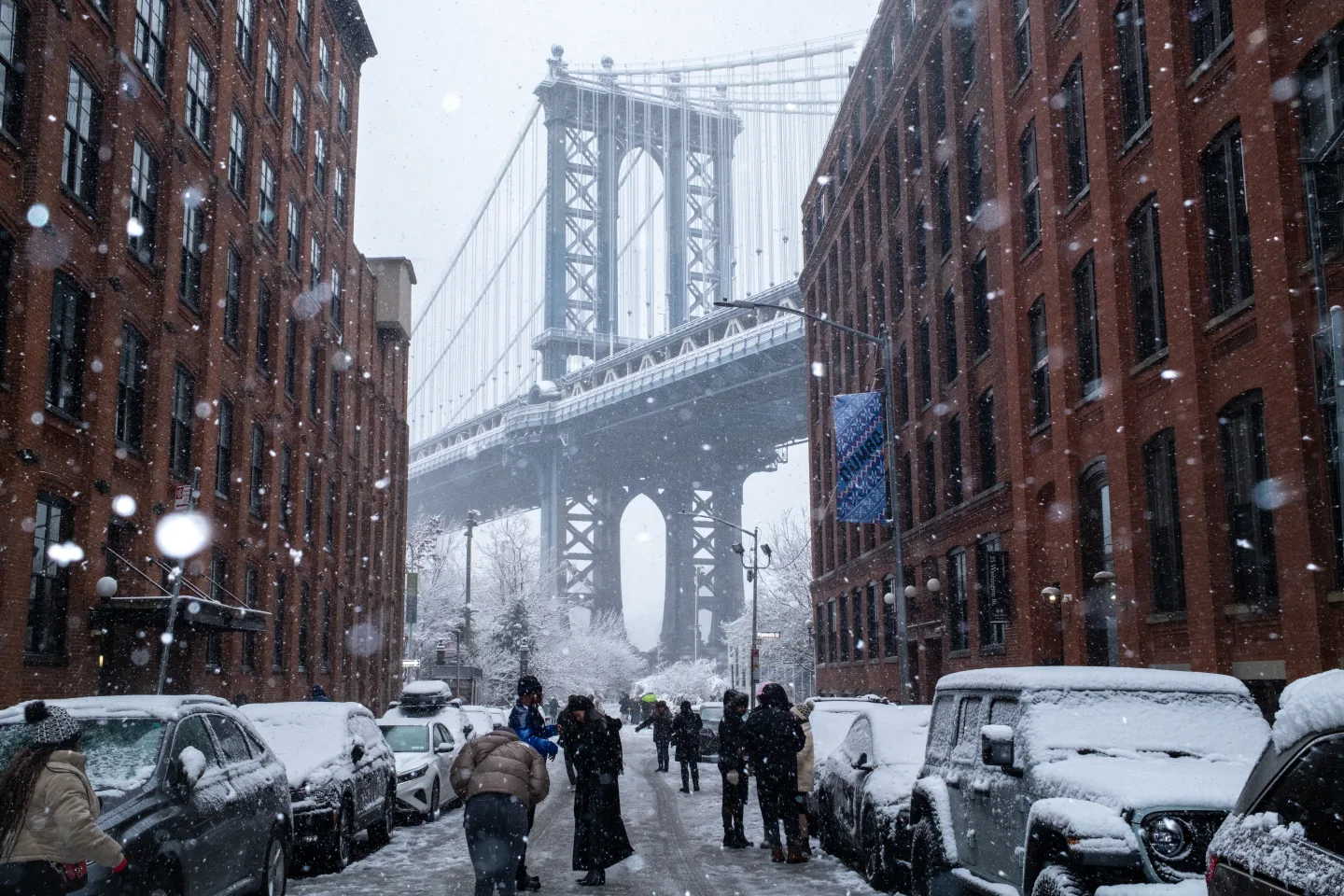
The storm began Saturday and brought up to several inches of snow in the New York-New Jersey metro area, marking the first significant snowfall of the season. Light snow also fell in parts of New England. The storm was expected to weaken by Sunday night, followed by arctic conditions with overnight windchill temperatures at or dropping below zero degrees (-18 Celsius).
Crews and contractors were actively plowing and treating roads in New Jersey, where the state Department of Transportation advised residents to avoid unnecessary travel. Salt spreaders and plows worked overnight to clear snow from roads and bike lanes, while the New York City Department of Sanitation reported ongoing efforts to keep streets safe for travel. In Pennsylvania, speed limits on interstates were temporarily reduced to 45 mph (72 kph).
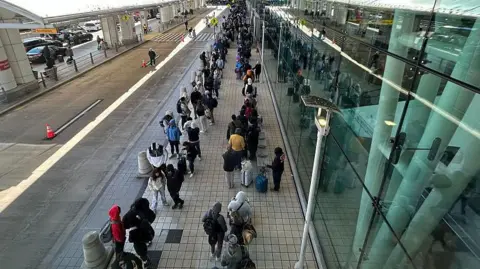
The weather caused over 1,000 flights to be delayed and more than 100 cancellations at U.S. airports, according to the flight tracking site FlightAware.
Meanwhile, a blast of arctic air swept down from Canada into parts of the northern U.S., making Sunday the coldest morning experienced so far this season. Minneapolis-Saint Paul International Airport reported a temperature of -10 degrees (-23 C), with some areas seeing lows of -22 degrees (-30 C).
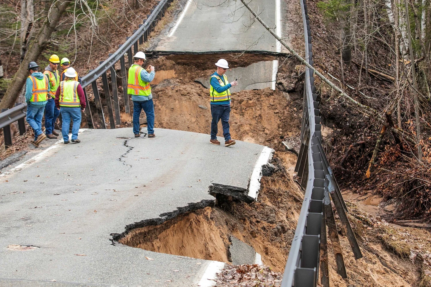
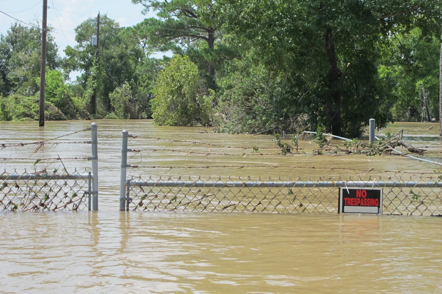
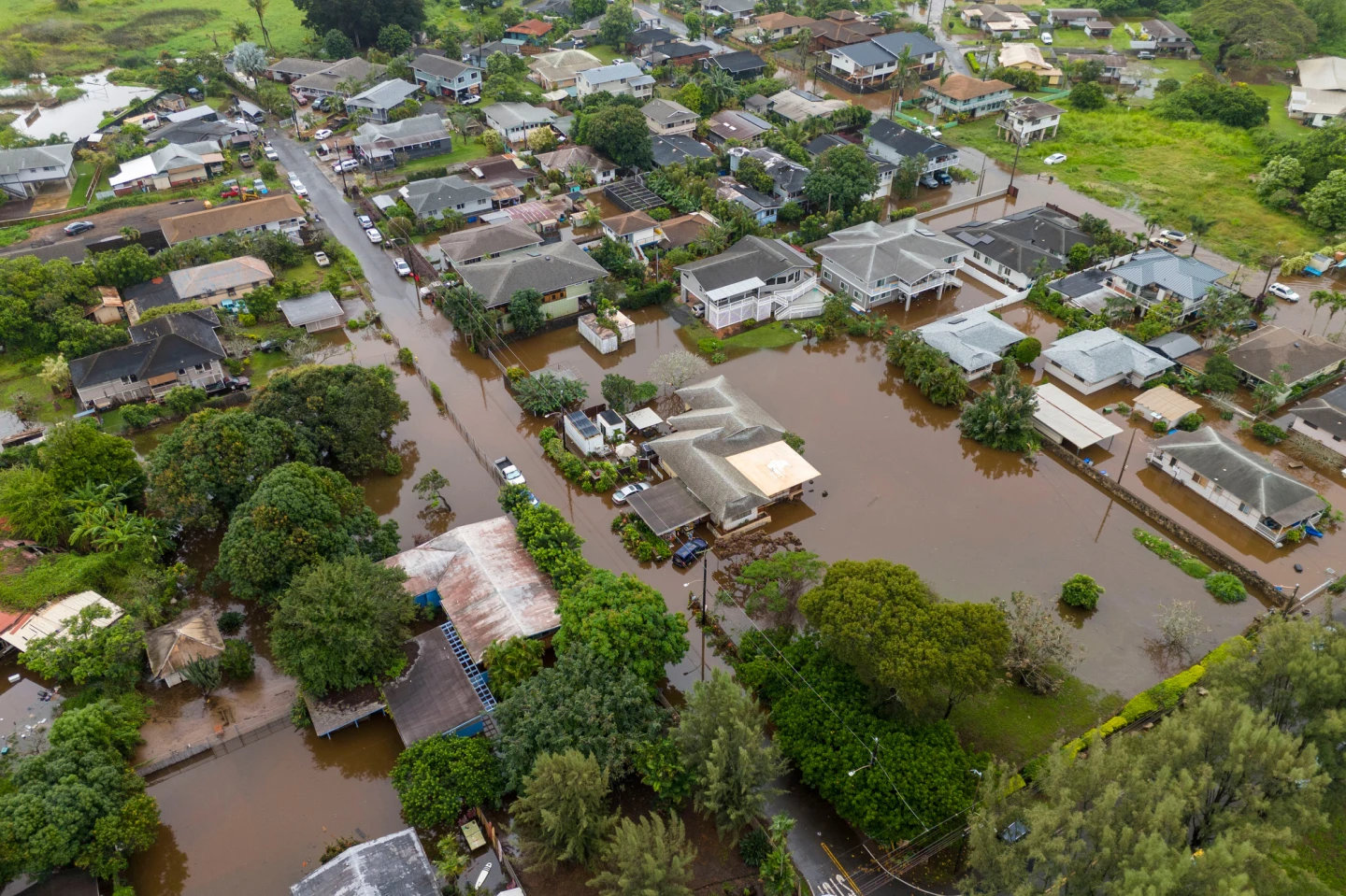
In the Pacific Northwest, which has been grappling with catastrophic flooding that forced thousands to evacuate, more rain and wind were anticipated in the region starting late Sunday as forecasters warned of continuing adverse conditions.