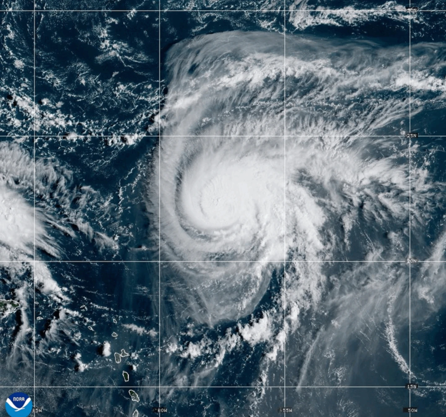
MIAMI (AP) — Tropical weather has intensified in the Atlantic, with Hurricane Humberto becoming a Category 4 hurricane and a weather system preparing to threaten the Southeast U.S.
According to the National Hurricane Center, Hurricane Humberto has maximum sustained winds of 145 mph (230 kph) and is situated approximately 375 miles (605 kilometers) northeast of the northern Leeward Islands, moving west at 6 mph (9 kph).
This hurricane could generate life-threatening surf and rip currents affecting the northern Leeward Islands, the Virgin Islands, Puerto Rico, and Bermuda over the weekend.
Meanwhile, another weather disturbance is expected to develop into a tropical storm this weekend, posing threats of heavy rainfall and flash flooding in parts of the Bahamas and Cuba. A tropical storm warning was issued for parts of the Bahamas.
This system aims to approach the southeast U.S. by early next week, with expectations of tropical storm development by Sunday, potentially escalating to hurricane status by late Monday.
In South Carolina, Governor Henry McMaster declared a state of emergency to ensure readiness for any possible impact from the incoming weather system.
In Charleston, preparations are underway, including sandbagging efforts and verifying high-water vehicles to mitigate flooding risks.
Heavy rainfall from the disturbance has already hit the Dominican Republic, prompting evacuations and a declaration of a red alert in five provinces due to flooding and significant landslide risks.
In the eastern Atlantic, the post-tropical cyclone Gabrielle has moved away from the Azores, diminishing hurricane warnings in the region.
In the Pacific, Hurricane Narda is currently 1,025 miles (1,650 kilometers) from the southern Baja California, moving west-northwest and expected to maintain its strength before weakening.