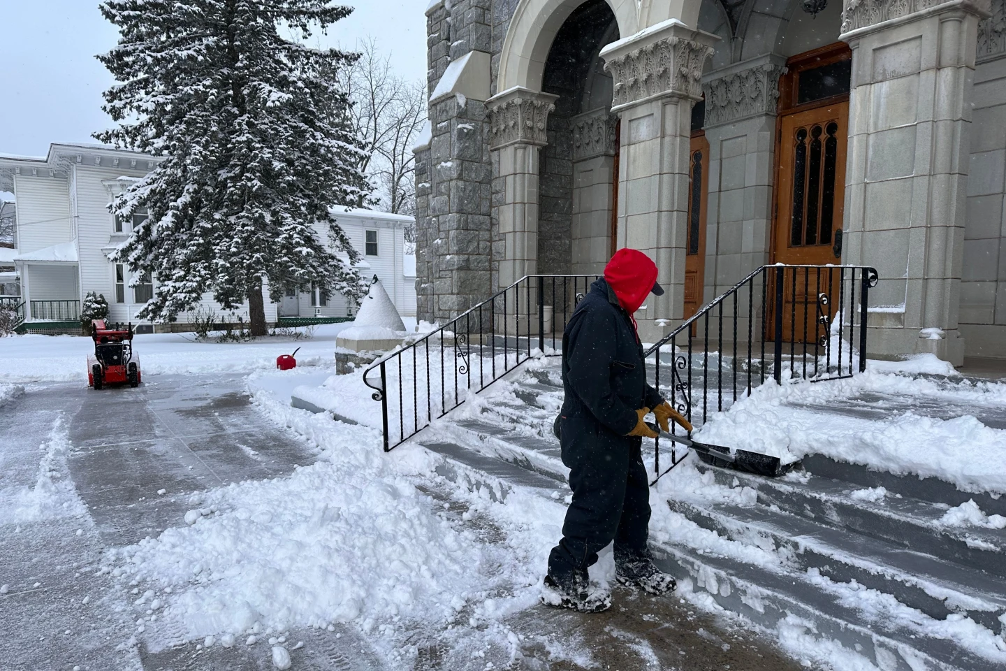
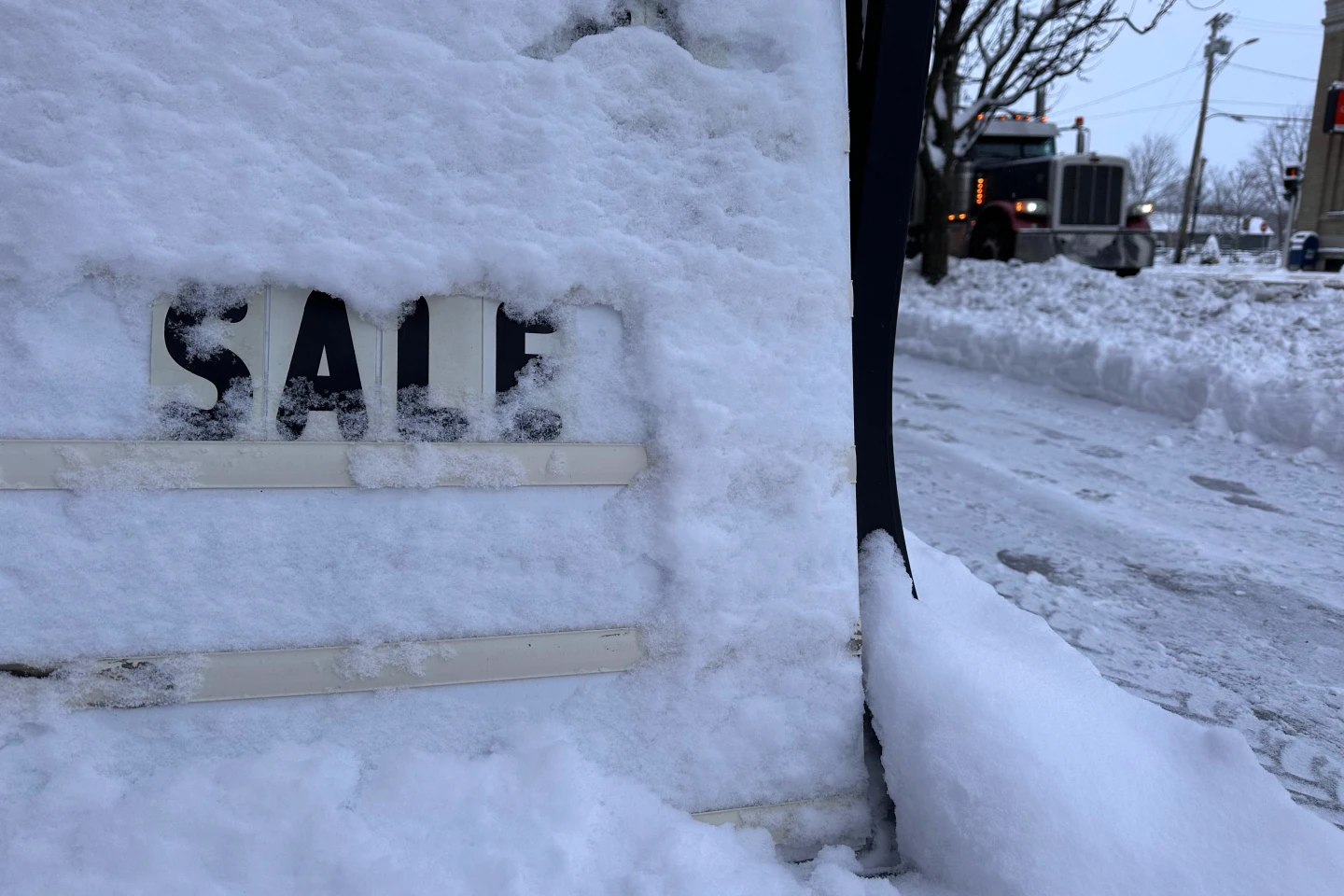
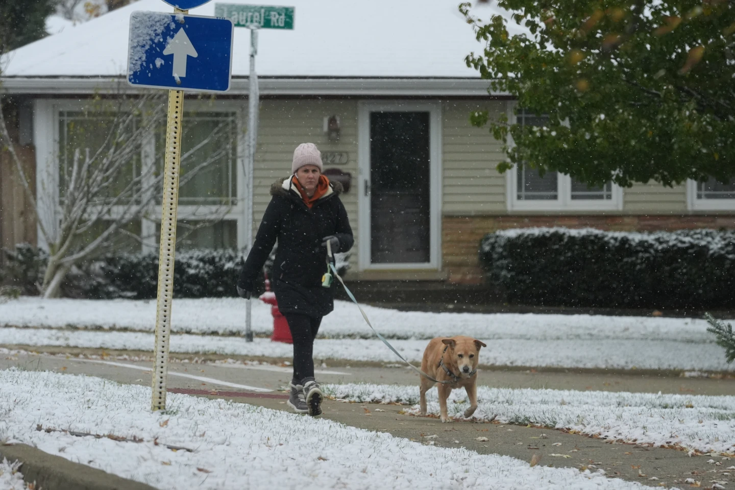
LANSING, Mich. (AP) — Those celebrating Thanksgiving in the Great Lakes region should brace for a snowy celebration as a weather system unleashes precipitation, especially in Michigan's Upper Peninsula. Snowfall that started on Wednesday persisted into Thursday, driven by winds and snow bands originating from the north and northwest. A blizzard warning is currently in effect for Alger County, located east of Marquette, Michigan, lasting until 7 p.m. Thursday night.
The National Weather Service predicts the heaviest snowfall will occur west of Munising, where an additional 13 inches (33 centimeters) may accumulate. Snowfall is expected to diminish in western Upper Peninsula counties as the day advances. Meteorologist Lily Chapman from the National Weather Service in Marquette indicated that they measured about 15 inches (38 centimeters) of snow at her office on Thursday morning. Reports from near Bessemer, approximately 113 miles (182 kilometers) east of Duluth, indicate accumulations of 18 to 28 inches (46 to 71 centimeters).
'It varies pretty quickly depending on things like elevation or where any of our stronger bands have been able to line up,' Chapman noted.
Lake effect snow, characterized by narrow bands of clouds that produce substantial snowfall, typically occurs when cold air from Canada flows over the warmer waters of the Great Lakes, including Superior, Michigan, Huron, Ontario, and Erie. This interaction results in rapidly accumulating snow in some areas, with some regions potentially receiving 2 to 3 inches (5 to 8 centimeters) per hour. Michigan, Ohio, and New York are majorly impacted but the phenomenon can occur over other large bodies of water, like Utah's Great Salt Lake.
In an unfortunate twist, the weather brings dire driving conditions—with sudden whiteouts making travel treacherous. Visibility issues were reported across the Upper Peninsula on Thursday. Additionally, winds reaching speeds of up to 45 mph (72 kph) pose risks of snow drifts on roads and widespread power outages, with over 1,000 outages reported near Houghton, Michigan, east of Marquette. Similar issues emerged along Lake Michigan’s coast near Holland.
As Friday approaches, forecasters anticipate the lake effect snow to ease from west to east, with a distinct but less intense weather system expected to deliver additional accumulation over the holiday weekend. Reports of 2 to 3 inches of snow also emerged from Buffalo, New York, as lake effect snow warnings continue until early Saturday morning.

