Recent satellite imagery reviewed by BBC Verify suggests that Israel has moved the blocks, which are designed to signify its post-ceasefire line of control, deeper into Gaza, creating uncertainty and tension among the Palestinian population.
In at least three locations, Israel's military repositioned these concrete blocks, initially placed to delineate its boundaries as stipulated in a ceasefire agreement with Hamas.
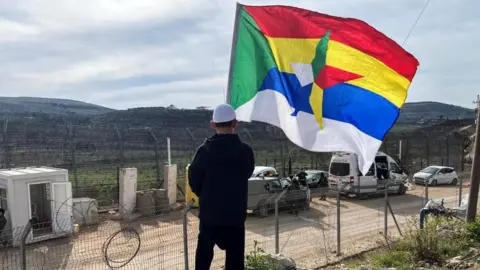
This agreement, brokered by the US, required Israel to withdraw its troops beyond a demarcated yellow line drawn on military maps. The minister of defence, Israel Katz, has previously warned that anyone crossing this line would face severe consequences.
Since those warnings, there have been multiple reported incidents involving gunfire and violence around the newly defined perimeters.
In areas including Beit Lahia, Jabalia, and al-Tuffah, nearly 16 positions were reportedly moved deeper into Gaza. On average, these markers were shifted approximately 295 meters (968 feet) inward.
Further, data indicates that many previously established markers along the Yellow Line remain unmarked, causing confusion about the actual boundaries and designating areas as combat zones.
Civilians express fear and uncertainty as the Israel Defense Forces have engaged in numerous confrontations, with a reported 69 separate instances of fire directed at individuals perceived to be crossing the Yellow Line since October.
Experts in Middle Eastern security concerns claim that the movement of these boundaries serves as a method of territorial manipulation, allowing Israel to redefine livable areas for Palestinians without officially changing the border.
There are now serious questions about the implications of these changes for the safety and displacement of people living within the newly drawn boundaries, particularly as Israeli operations continue beyond the agreed-upon lines.