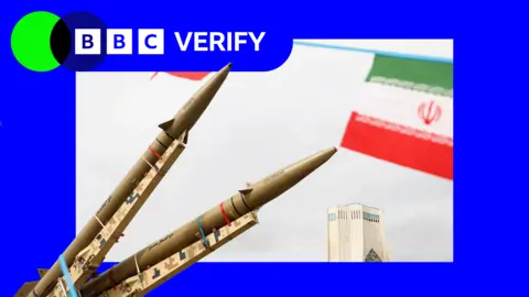
Humanitarian organizations and journalists have expressed concerns after a leading satellite imagery company told its users it was restricting access to images of Iran and large parts of the Middle East following a request from the US government.
California-based Planet Labs initially introduced a 14-day delay on providing new imagery from the region in March. It has since moved to an indefinite restriction.
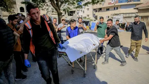
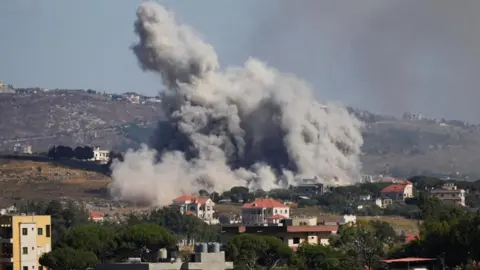
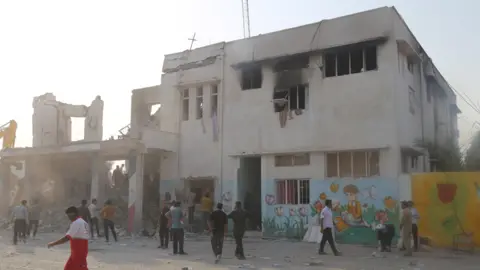
The decision has limited how journalists, humanitarian groups, and analysts can use satellite images to assess the impact of the US-Israel war with Iran, including damage to military targets and civilian infrastructure.
It is unclear what prompted the US to press Planet to suspend its coverage, and the Department of Defense did not respond to a request for comment.
Planet originally stated that its 14-day delay policy was to ensure our imagery is not tactically leveraged by adversarial actors to target allied and NATO-partner personnel and civilians. The company has since indicated a shift to a system of managed distribution, sharing selected images on a one-off basis until the perceived security risk decreases.
This restriction appears comprehensive, affecting most of the Middle East, including Iraq, Lebanon, Israel, and Gaza.
Analysts suggest that companies like Planet that have military contracts may adopt what they describe as voluntary compliance requests based on commercial incentives rather than legal obligations.
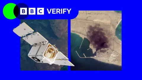
Satellite imagery is essential for media reporting, especially in conflict zones where on-ground access is limited. BBC Verify has utilized Planet imagery to report on events in the region, including the aftermath of battles in Iran since February.
However, due to the restrictions, images captured after March 9 are no longer accessible to the company’s clients.
As more defense contracts converge with their commercial operations, analysts warn that voluntary compliance amid governmental influence blurs the lines of autonomy for satellite companies like Planet Labs.
The effects of the imaging restrictions are significant for humanitarian efforts, severely impairing the ability to plan vital operations, assess damages, and respond to crises effectively. Oxfam noted that it relies on satellite imagery to operationalize aid in conflict zones such as Gaza.
Experts predict that restrictions like these are likely to become more prevalent but may also prove futile as satellite technologies are democratized and access to global imagery expands.