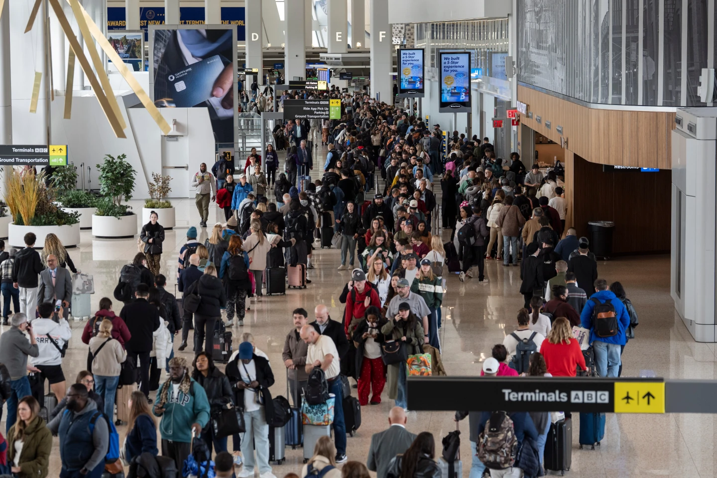
A potent winter storm is threatening blizzard-like conditions, hazardous travel, and power outages in the Upper Midwest. As temperatures plunge across much of the country, other regions brace for a mix of snow, ice, and rain.
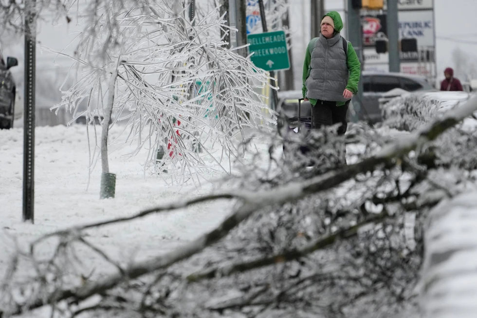
The storm began on Sunday, spreading heavy snow across the northern Plains, where the National Weather Service cautioned of whiteout and blizzard conditions that may render travel impossible in certain areas. Snowfall amounts are expected to exceed a foot in some regions of the Upper Great Lakes and possibly double that along Lake Superior's southern shore.
Forecaster Bob Oravec noted, Different parts of the storm are bringing heavy snow, while other areas along the cold front are seeing higher winds and markedly colder temperatures as it advances. He emphasized the various impacts this storm is poised to have across the nation.
Dangerous wind chills are anticipated, dropping as low as -30°F in North Dakota and Minnesota from Sunday night into Monday.
The storm's intensity is expected to escalate as it progresses eastward, fueled by a stark confrontation between frigid Canadian air and the unusually warm air lingering in the southern U.S. Meteorologists have also issued warnings for severe thunderstorms ahead of the cold front in the South, where record warmth has been experienced.
As a stark shift in temperatures occurs, Atlanta's high of 72°F could plummet to 25°F by early Tuesday. The cold snap is forecasted to persist well into New Year’s Day, impacting temperatures in surrounding cities, including Dallas and Little Rock.