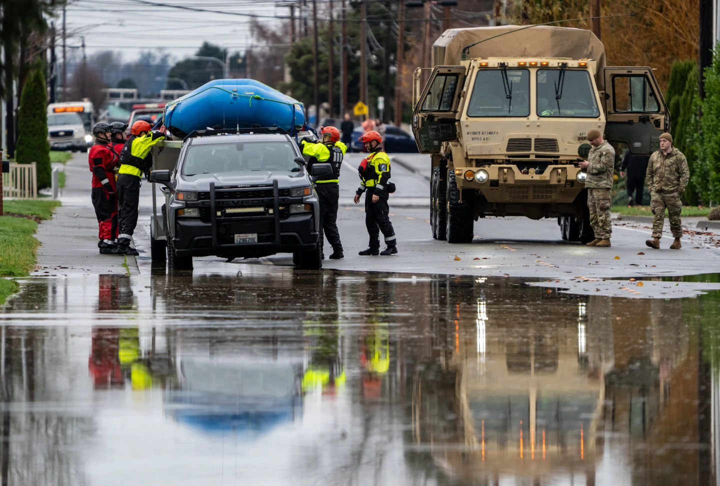
Currently, Erin is expected to navigate north of several islands, including the Leeward Islands, the Virgin Islands, and Puerto Rico, throughout the weekend, potentially delivering rainfall of up to 6 inches (15 cm) and increasing risks of flash flooding and mudslides. As the first hurricane of the 2025 Atlantic hurricane season, it is not anticipated to strike the mainland United States directly.
Overnight, Erin's winds surged from 100 mph to 160 mph, marking a significant rapid intensification event — a phenomenon defined as a storm gaining at least 34 mph in strength within 24 hours. Heading into next week, Hurricane Erin is projected to move northward, continuing past the Bahamas and towards the Outer Banks of North Carolina.
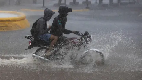
Warnings have been issued about life-threatening surf and rip currents affecting nearly the entire east coast of the United States. The states of Florida and regions in the Mid-Atlantic will experience the most perilous surf conditions, while Bermuda may also be impacted by heavy rainfall and dangerous surf.
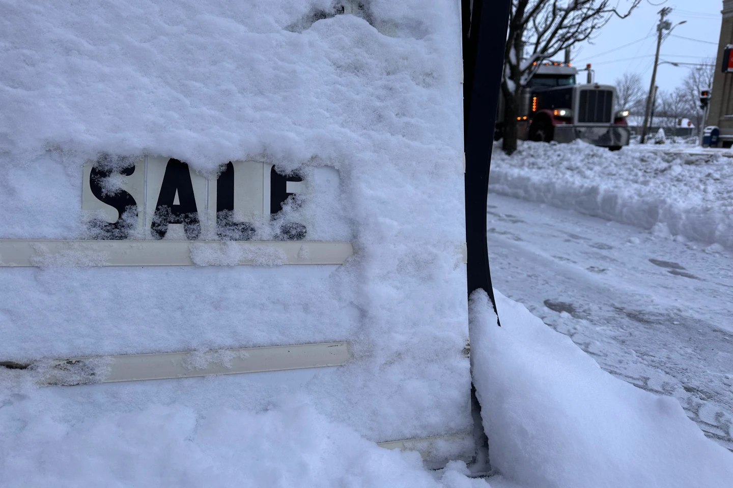
As a precaution, the U.S. Coast Guard has implemented vessel restrictions in ports located in the US Virgin Islands and various municipalities in Puerto Rico, including San Juan. The National Oceanic and Atmospheric Administration has indicated an expectation of an "above-normal" Atlantic hurricane season for the year, attributing the increasing frequency of category four and five hurricanes to factors related to climate change.
Overnight, Erin's winds surged from 100 mph to 160 mph, marking a significant rapid intensification event — a phenomenon defined as a storm gaining at least 34 mph in strength within 24 hours. Heading into next week, Hurricane Erin is projected to move northward, continuing past the Bahamas and towards the Outer Banks of North Carolina.
Warnings have been issued about life-threatening surf and rip currents affecting nearly the entire east coast of the United States. The states of Florida and regions in the Mid-Atlantic will experience the most perilous surf conditions, while Bermuda may also be impacted by heavy rainfall and dangerous surf.
As a precaution, the U.S. Coast Guard has implemented vessel restrictions in ports located in the US Virgin Islands and various municipalities in Puerto Rico, including San Juan. The National Oceanic and Atmospheric Administration has indicated an expectation of an "above-normal" Atlantic hurricane season for the year, attributing the increasing frequency of category four and five hurricanes to factors related to climate change.