ATLANTA (FlashPoint) — Amid ongoing recovery from severe winter weather in the northern states, the Southern U.S. faces a new winter storm this weekend that could blanket roads in ice and bring freezing temperatures. Meteorologists caution that this upcoming storm presents a significant threat of power outages and dangerous travel conditions across multiple states.
As cold air descends from Canada, it will clash with incoming rain across the southern region, resulting in a forecast of a 'major winter storm'. National Weather Service meteorologist Bryan Jackson highlighted this unusual cold setup, warning of the potential for impactful weather as moisture from the Gulf collides with the arctic air mass.
An 'atmospheric river' of moisture is expected to sweep through Texas and extend toward Georgia and the Carolinas by the weekend, intensifying the forecast for ice, particularly in northern Georgia and Atlanta. With low temperatures likely to hover around 22°F (-5.6°C) early Monday, lingering ice could pose hazardous conditions well into next week.
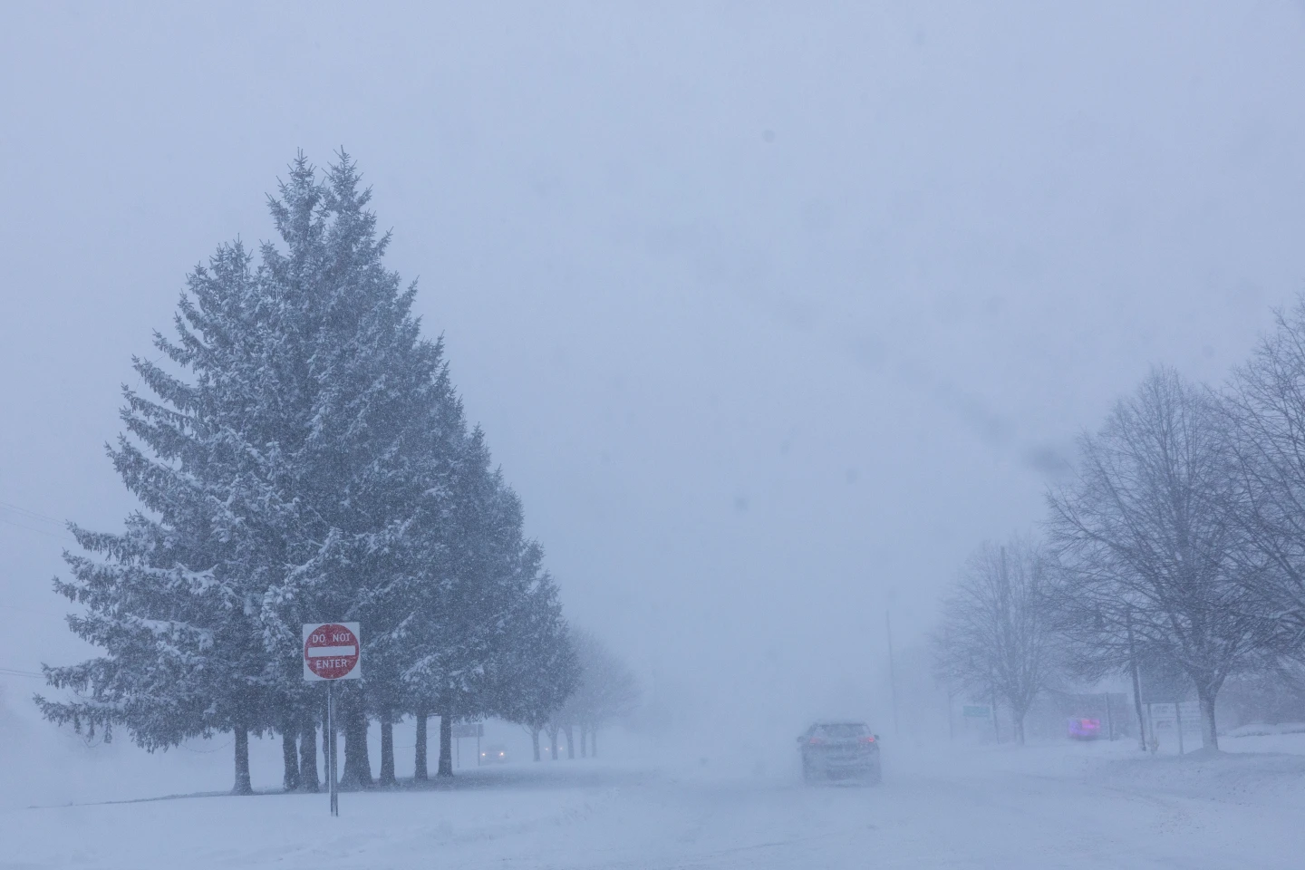
Travel across the Southern states is a significant concern, as these areas are typically underprepared for such weather. Many southern states lack sufficient equipment to manage snowy and icy conditions effectively. Compounding the situation, temperatures post-storm are predicted to remain low, preventing snow and ice from melting quickly.
In Texas, the impacts of the storm may begin as early as Friday, with forecasters indicating a risk of temperatures plunging into the 20s Fahrenheit. This storm has the potential to create ripple effects across the Southern U.S., with ongoing uncertainties regarding ice and snow accumulations as forecasters continue to monitor the situation closely.
As cold air descends from Canada, it will clash with incoming rain across the southern region, resulting in a forecast of a 'major winter storm'. National Weather Service meteorologist Bryan Jackson highlighted this unusual cold setup, warning of the potential for impactful weather as moisture from the Gulf collides with the arctic air mass.
An 'atmospheric river' of moisture is expected to sweep through Texas and extend toward Georgia and the Carolinas by the weekend, intensifying the forecast for ice, particularly in northern Georgia and Atlanta. With low temperatures likely to hover around 22°F (-5.6°C) early Monday, lingering ice could pose hazardous conditions well into next week.
Travel across the Southern states is a significant concern, as these areas are typically underprepared for such weather. Many southern states lack sufficient equipment to manage snowy and icy conditions effectively. Compounding the situation, temperatures post-storm are predicted to remain low, preventing snow and ice from melting quickly.
In Texas, the impacts of the storm may begin as early as Friday, with forecasters indicating a risk of temperatures plunging into the 20s Fahrenheit. This storm has the potential to create ripple effects across the Southern U.S., with ongoing uncertainties regarding ice and snow accumulations as forecasters continue to monitor the situation closely.