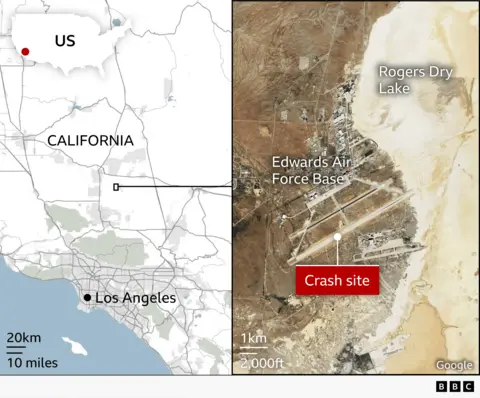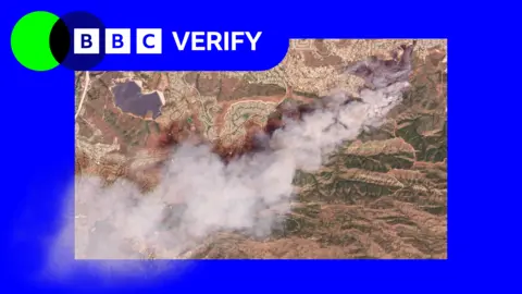
Recent satellite imagery has highlighted the severe wildfires currently ravaging Southern California. Among these, the Sandy Fire ignited early Monday morning in Simi Valley, located northwest of Los Angeles, has emerged as a major concern.
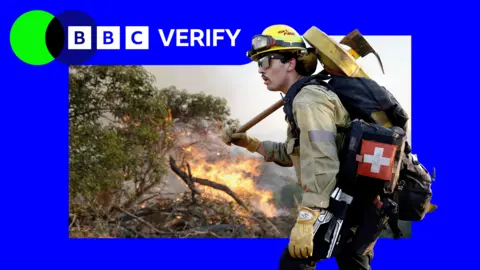
Images captured just after noon local time reveal a significant plume of smoke billowing from the area. As of Tuesday, California fire officials reported that 750 firefighters were actively battling the flames, aided by helicopters equipped for nighttime water drops.
The Simi Valley Police Department reported that the fire was sparked when a tractor struck a rock. Since its ignition, the Sandy Fire has consumed 1,364 acres (550 hectares) with no containment achieved as of yet. Data from NASA's wildfire monitoring platform indicate that the active hotspots are moving southward.
In response to the escalating situation, more than 10,000 homes have been evacuated in Simi Valley, with an additional 3,500 homes placed under evacuation warnings extending into neighboring Los Angeles County. Despite officials expressing cautious optimism that the blaze may not reach Los Angeles city, evacuation alerts have been issued as a precaution.
Meanwhile, another significant fire on Santa Rosa Island has burned over 14,600 acres (6,000 hectares) of the Channel Islands National Park. Efforts to control this fire have involved approximately 70 firefighters and park rangers, with assistance from the U.S. Coast Guard after a rescue of an individual was reported on the island.
As the situation develops, Simi Valley schools announced the cancellation of classes on Tuesday to ensure the safety of students and staff. The unpredictable fire behavior, compounded by winds and dry conditions, continues to pose a significant risk in the region.