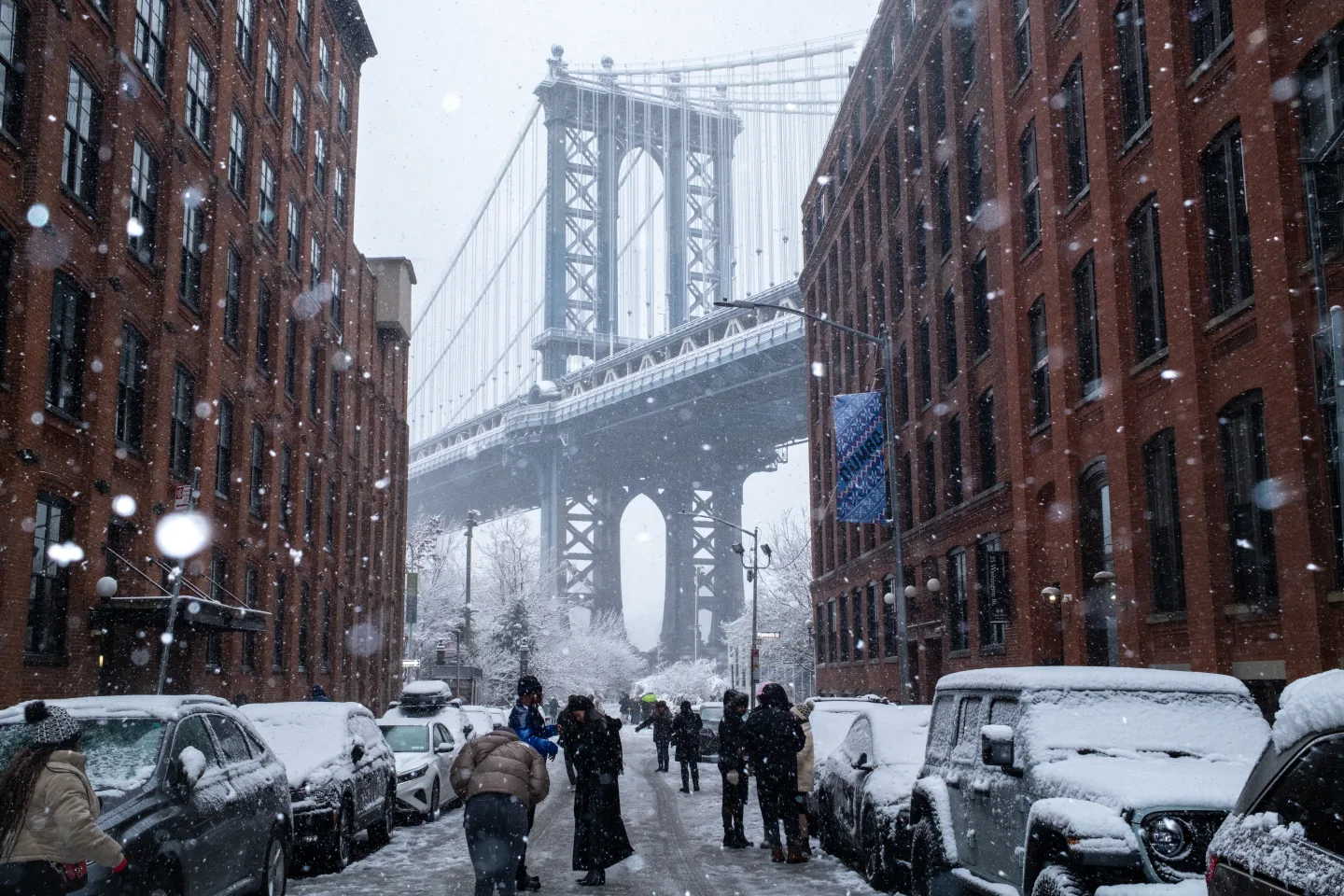
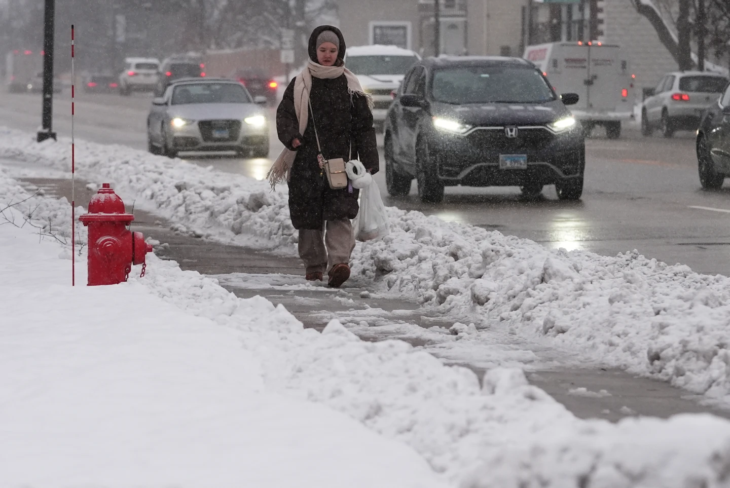
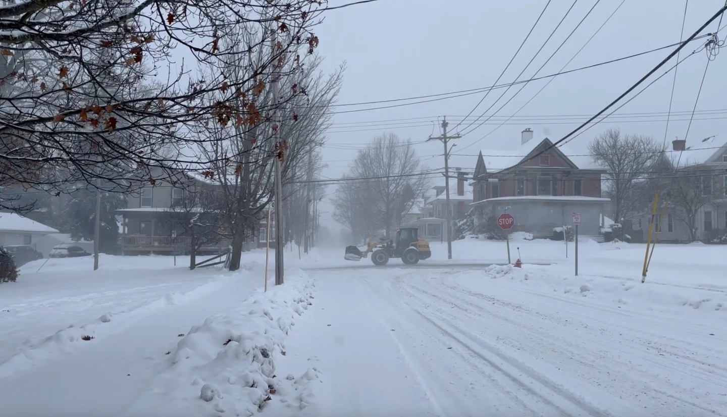
A powerful winter storm was sweeping east from the Plains on Sunday, driven by an intense cyclone, setting off a reaction of snow, ice, rain, and severe weather across much of the U.S.
Snow and strong winds spread across the Upper Midwest, where the National Weather Service warned of dangerous whiteout and blizzard conditions, potentially crippling travel. Snowfall totals could exceed a foot in the upper Great Lakes region, with some areas along Lake Superior facing up to 2 feet (61 centimeters).
In the Southern states, weather experts forecast severe thunderstorms indicating an imminent cold front, referred to as a Blue Norther, which will bring a notable temperature drop and strong northern winds, transitioning away from recent record warmth in the area.
During the next 48 hours, the cyclone is predicted to generate heavy snow and blizzard conditions in the Midwest and Great Lakes, along with freezing rain in New England and thunderstorms across the eastern U.S. and South, accompanied by widespread strong winds.
The storm will intensify as it heads east, fueled by a clash between chilly Canadian air and the unseasonably warm air remaining in the southern U.S., per the National Weather Service.
This comes on the heels of numerous flight delays and cancellations throughout the Northeast and Great Lakes over the weekend, complicating travel for many during the busy period between Christmas and New Year’s.
Conversely, California is experiencing a relatively dry weekend following previous storms that brought heavy rains, flash flooding, and mudslides, tragically resulting in at least four fatalities, including one man discovered dead in a partially submerged vehicle.